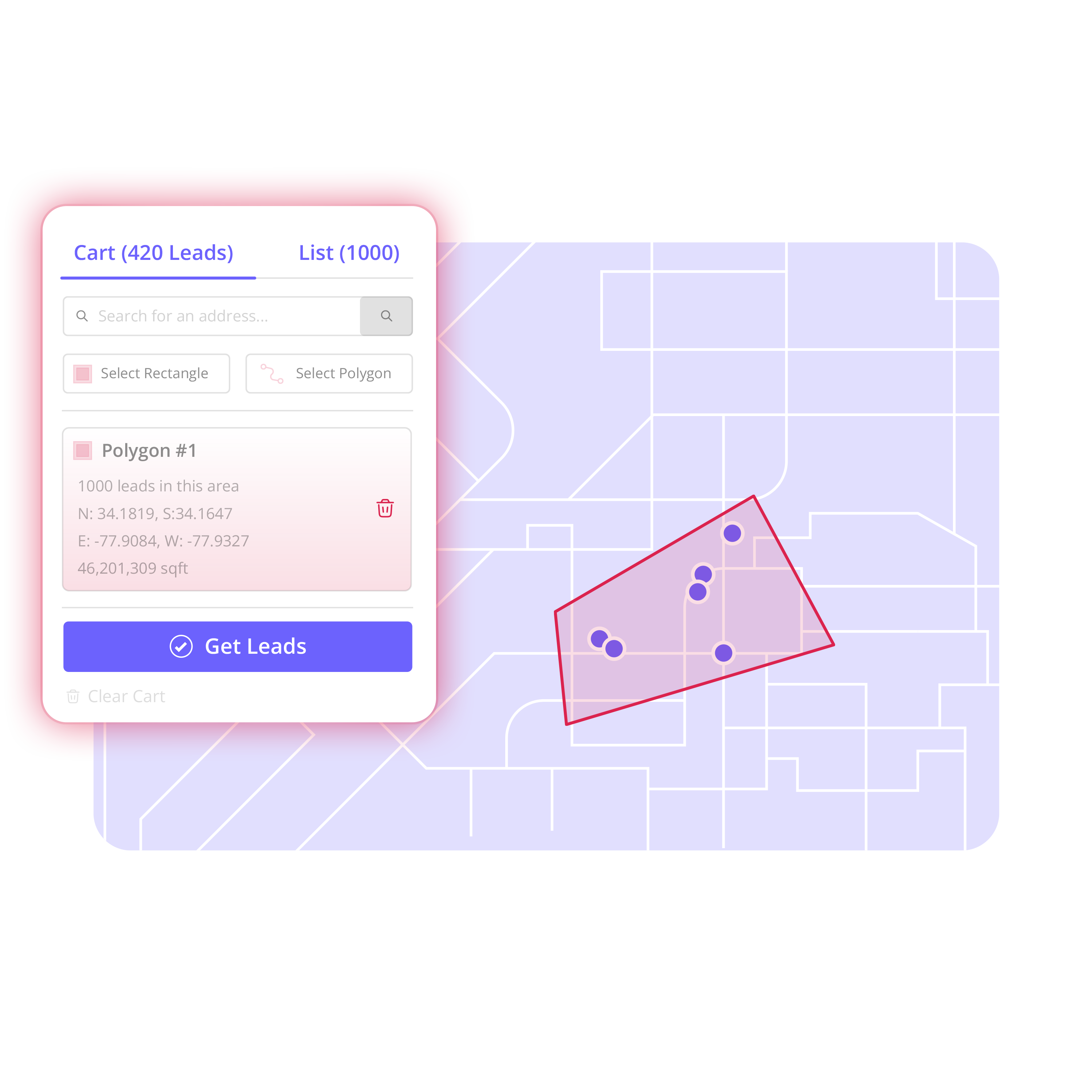

A good territory map is not a color-coded planning exercise. It is the starting point for a real campaign: the streets your reps will work, the properties your team will research, and the records that will move into outreach. Territory mapping gives local sales teams a direct path from “this is where we want to sell” to “this is the list we are working.”
For roofers, that may mean the blocks around a recent project or a storm-affected neighborhood. For a solar team, it may be a tight canvassing zone with the right housing stock. For an HVAC company, it may be a service-area expansion that does not require sending technicians across town. The point is the same: choose the ground deliberately, then build a usable prospect list from it.
What Territory Mapping Should Actually Do
Territory mapping should help your team define a geographic opportunity with enough precision to act on it. A ZIP code can be a useful starting point, but it is rarely a complete campaign plan. ZIP boundaries may include commercial corridors, apartment buildings, areas outside your service radius, or streets already assigned to another rep.
The practical job is to turn a map boundary into organized records. That means identifying the properties inside the area, selecting the ones that fit the campaign, adding available information only where it matters, and handing the finished list to the team or system responsible for outreach.
When that process happens in disconnected tools, work slows down. A manager draws a map in one application, buys or exports raw records from another, cleans duplicates in a spreadsheet, and sends a file that may not clearly show where the campaign begins or ends. Reps can overlap. Lists become stale. Nobody is fully sure which records have already been touched.
A territory-first workflow keeps the geographic decision connected to the prospect list. The map is not just a visual. It is the source of the campaign.
How to Build a Territory Map for Prospecting
The best process is simple enough to repeat whenever a new opportunity appears. Choose the area. Find the properties. Build the list. Enrich what matters. Organize the work. Export it into the tools your team already uses.
1. Choose the area your team can work
Start with the reason for the campaign, not a generic list size. A roofing manager may want to work the streets surrounding a completed replacement job. An investor may want to focus on a defined acquisition zone. A solar canvassing manager may need a compact area where reps can spend full shifts walking doors instead of driving between them.
Search for an address, neighborhood, ZIP code, market, or service area. Then draw the exact streets or blocks your team wants to prospect. Custom boundaries matter because sales territories are often shaped by practical conditions: drive time, rep assignments, local demand, recent jobs, weather events, or a direct-mail drop.
Keep the boundary tight when the campaign requires concentrated coverage. Expand it when the goal is broader market development. There is no single right territory size. It depends on the number of reps, the outreach method, the available time, and how consistently the team can follow up.
2. Find the properties inside the boundary
Once the territory is defined, identify the properties within it. This is where the map becomes operational. Instead of collecting addresses from several sources and hoping they fall within the intended area, you can see the records connected to the territory you chose.
Property-level visibility is useful for more than door knocking. A home-service business can build a targeted direct-mail audience. An acquisition team can create a focused research queue. A sales manager can prepare a call list for reps working a specific expansion area.
Do not treat every property as equally valuable. Use the campaign goal to decide what belongs in the list. A dense neighborhood canvass may include most eligible residential properties. A higher-touch investor campaign may require a smaller, more selective group. The right list is the one your team can actually work well.
3. Build a campaign list, not a raw export
Raw data creates cleanup work. A campaign list creates ownership.
Add the selected property records to a dedicated list as you review the territory. Give the list a clear name that tells the team what it is, such as “Northside Roof Replacement Radius,” “May Storm Response Zone,” or “East Market Solar Canvass.” Clear naming prevents an old export from becoming the unofficial source of truth six weeks later.
At this stage, remove records that do not fit the effort. You may exclude nonresidential properties, addresses outside your actual service coverage, or records already assigned to an active campaign. This is also the point to check whether the same property appears in another current list.
A clean list does not mean a huge list. It means the records have a defined purpose, a geographic reason for being included, and a clear next step.
4. Enrich selected records with intent
Available homeowner and contact information can help a team prepare outreach, but it should not be a default step for every record in every territory. Enrich the properties your team has chosen to pursue, then use that information according to your company’s process and applicable outreach rules.
Selective enrichment controls cost and reduces unnecessary data handling. It also keeps the campaign focused. If a rep will only work 300 properties this week, prepare those 300 rather than adding information to thousands of records that may never enter the sales process.
For a canvassing team, enrichment can support follow-up after an initial visit. For a direct-mail campaign, property details may help narrow the audience before the list moves to a mail provider. For an acquisitions team, it can give researchers a starting point for prioritized records. The workflow changes by industry, but the principle holds: add information because the campaign calls for it, not because it is available.
5. Organize work before the list leaves the map
A territory should have an owner before it becomes an export. Assign it to a rep, a crew, a manager, or a defined campaign. Use statuses, tags, filters, and boards to show what has been reviewed, what is ready for outreach, and what requires follow-up.
This step is where teams prevent overlapping effort. If one rep is working a neighborhood after a hail event, another rep should be able to see that assignment before building a duplicate list. If marketing is preparing a mail campaign for the same streets, the sales team should know how the touches are sequenced.
Organizing records inside the campaign also makes reporting more useful later. You can compare territory size, outreach activity, appointments, or outcomes without guessing which spreadsheet version was used. The territory gives each campaign a defined frame.
6. Export clean data into the sales process you already use
Territory mapping does not need to replace your CRM, canvassing platform, direct-mail provider, or field-sales process. Its job is to prepare the right list for those systems.
Export a clean CSV when the campaign is ready. Because the records were selected inside a defined boundary and organized before export, the receiving tool gets a list with context instead of a pile of unfiltered data. Your team spends less time reformatting columns, checking addresses, and asking who owns the area.
Territory by Top Interaction is built for this middle layer between map and outreach. It helps teams choose an area, find properties, build lists, enrich selected records, organize work, and export without forcing a full replacement of the tools already in place.
Common Territory Mapping Mistakes
The most common mistake is defining territory too broadly. A large ZIP code may look productive on paper, but it can leave reps with scattered routes and no clear coverage plan. Draw around the streets, subdivisions, or service pockets your team can reasonably work.
Another mistake is exporting before the campaign is organized. If the list has no owner, status, or campaign name, it becomes difficult to tell whether records are new, active, or already contacted. Build those controls before the file moves elsewhere.
Teams also lose time when they rely entirely on purchased lists. Those lists may be useful for some efforts, but they do not automatically reflect your current job sites, service boundaries, assigned reps, or local priorities. Geographic control lets you build around the opportunity you can see.
Finally, avoid treating the map as a one-time setup task. Markets shift. Crews move. A recent job creates a new neighborhood opportunity. Review and redraw territories as conditions change, then keep the campaign list connected to the updated plan.
Turn the Map Into the Next Workday
A territory only creates value when someone can work it. Start with the next practical opportunity: the neighborhood around a completed job, the streets your canvass team can cover this week, or the market your business plans to enter next month. Draw the boundary, build the list, assign the work, and give your team a clear place to start tomorrow morning.